Fire Monitoring Map for Parks in the Shar-Korab Massif
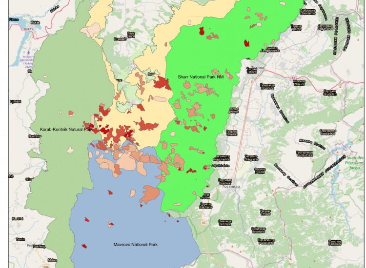
In order to create greater opportunities for future cooperation among four parks regarding fire protection issues, within the framework of the project "Protection and Sustainable Use of Transboundary Protected Areas of Sharr Mountain, Mavrova and Korab-Koritnik" financed by PONT and implemented by ALCDF together with partners LAG Dibra Turistike and CSCD, it has been possible to secure a considerable database of information regarding fires that occurred over a time period from 2003 – 2024. The database includes the location, municipality and respective country where the fires occurred, the period of the fire occurrence, the area damaged by fires, the perimeter of each of them, the type of vegetation damaged as well as other indicators which assist these parks. The prepared material serves for research purposes and analysis of fire situations that have occurred in the past with the aim of taking appropriate measures based on these conducted analyses. Additionally, a map in soft version that reflects the situation of fire occurrences for four parks has been prepared and provided to each of them. For more information, follow the link below: https://drive.google.com/file/d/1i5C9KWLkwoVS1yhSNQpWr-vk_IOepyWZ/view?usp=sharing